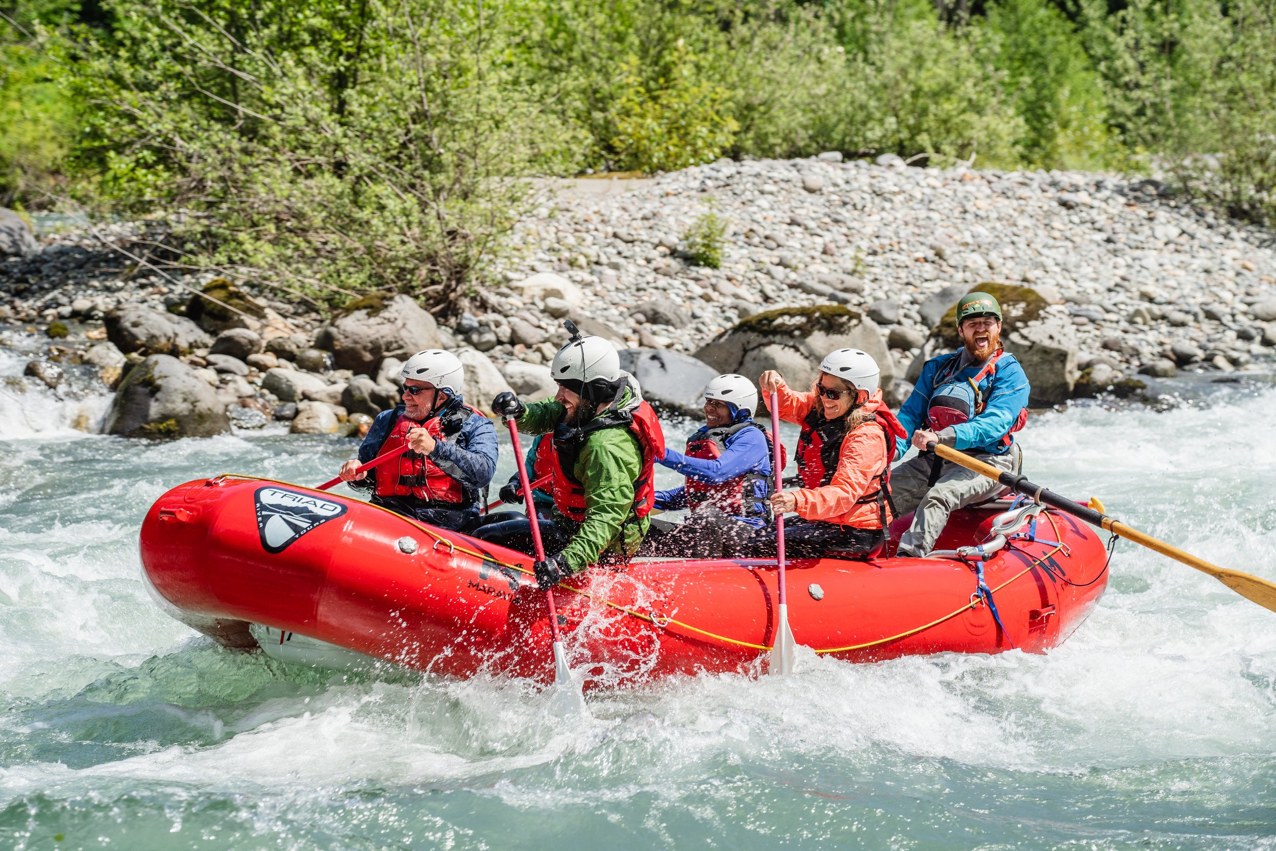
Sauk River Whitewater Rafting
Action Packed
Swimming ability required
360-510-1243
Risk Classification: Class 3-4 (click for info)
Ability Level: Intermediate-Advanced (click for info)
75 Miles from Seattle
Sauk River Rafting Trip Summary
Current rates: Variable (depending on availability and water levels)
3% fees to United States Forest Service added at booking
Risk Level: Class 3-4 (explanation here)
Likelihood of Incident (explanation here): 3.5-4
Severity of Incident (explanation here): 2.5-4
Overall Risk Factor: 10-14 (Class 3-4)
Ability Level: Intermediate-Advanced (what does this mean?)
Kid Friendly: No
Beginner Friendly: No
Requirements: Guests must be able to swim and have previous whitewater rafting experience.
Recommendations: Guests are advised to raft the Upper Skagit before running the Sauk.
Exertion Level: Somewhat Hard (50%), Very Hard (50%) (explanation here)
Pack List: (click here)
Meeting Location: Old School Park, Darrington Washington (click here for directions)
Safety Protocol & River Code: 6.7/SAUK2 (click here to be directed to safety protocol in our guide manual)
Sauk River "Nerd Chart"
Normal Season: April-August
Length of trip: 7.5 miles
Duration of trip: 1.5-2.5 hours on the river depending on river flow. 2.5-4 hours total (includes safety talk and shuttle ride)
Minimum age: 18 (adults only)
Minimum weight: 90lbs
Wetsuits Required: Yes
Liability Waiver Required prior to trip: Yes (online here)
Meeting Location: Old School Park located at 1026 Alvord St, Darrington, WA 98241 (click here for google map)
If you would like to read more about hypothermia risk and cold-water immersion, please click here.
If you would like to read a short breakdown on whitewater risks, please click here.
Historical Safety, Rescue, and Risk Analysis Data since 2012
Raft flip percentage: 0.2% (percentage of rafts that have flipped)
Guest swim percentage: 6% (percentage of guests who fell out of the raft)
Evacuation percentage: 0.2% (percentage of guests who required evacuation from the river)
Notes:
Triad River Tours is the largest volume outfitter on the Sauk River and operates under special use permit through the United States Forest Service. Our operating plan is designated as “priority use” by the USFS.
This risk analysis data set comes from thousands of guests and hundreds of trips, with guides submitting incident reports for any emergency, evacuation, flip, or injury. Our safety record and protocol is the highest standard in the industry.
Simple rescue percentage and guest percentages are estimated by the guides as not all of these require an incident report and thus not all are part of our records.
Sauk River Rafting Trip Itinerary
Trip Itinerary (9am as an example):
9am: Meet at Old School Park in Darrington. Get geared up.
9:15am: Drive to White Chuck Boat Launch in Triad vehicle.
9:30am: Prepare to launch/begin safety talk.
10:15am: On the river
10:15am-12:15pm: Raft through beautiful scenery and wonderful rapids.
12:15-12:30pm: Off river/ride back to your car at Old School Park.
12:45pm: Return to civilization with stoke meter cranked to highest level possible.
Sauk River Rafting Trip Experience
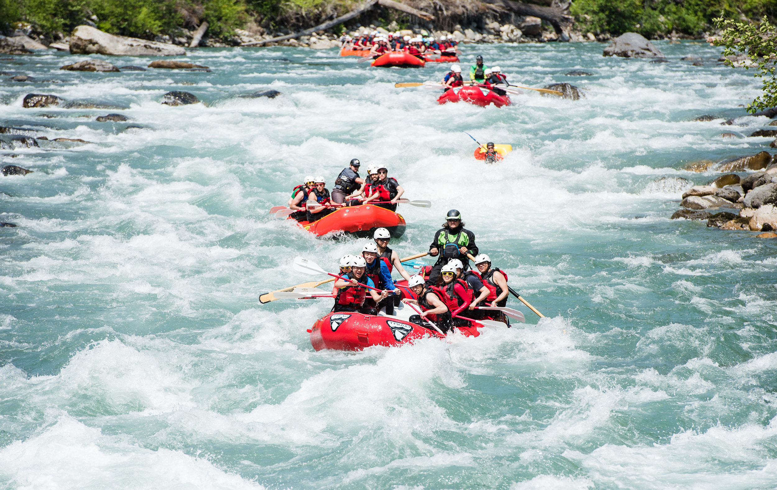
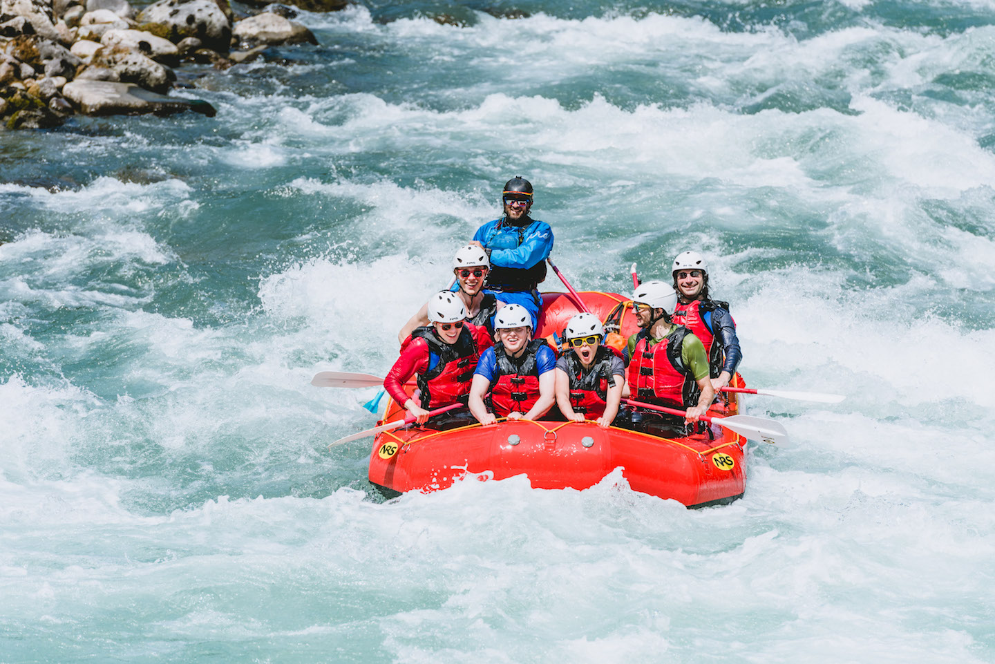
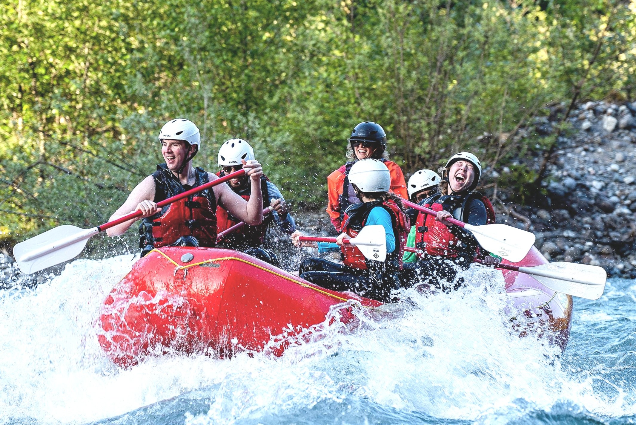
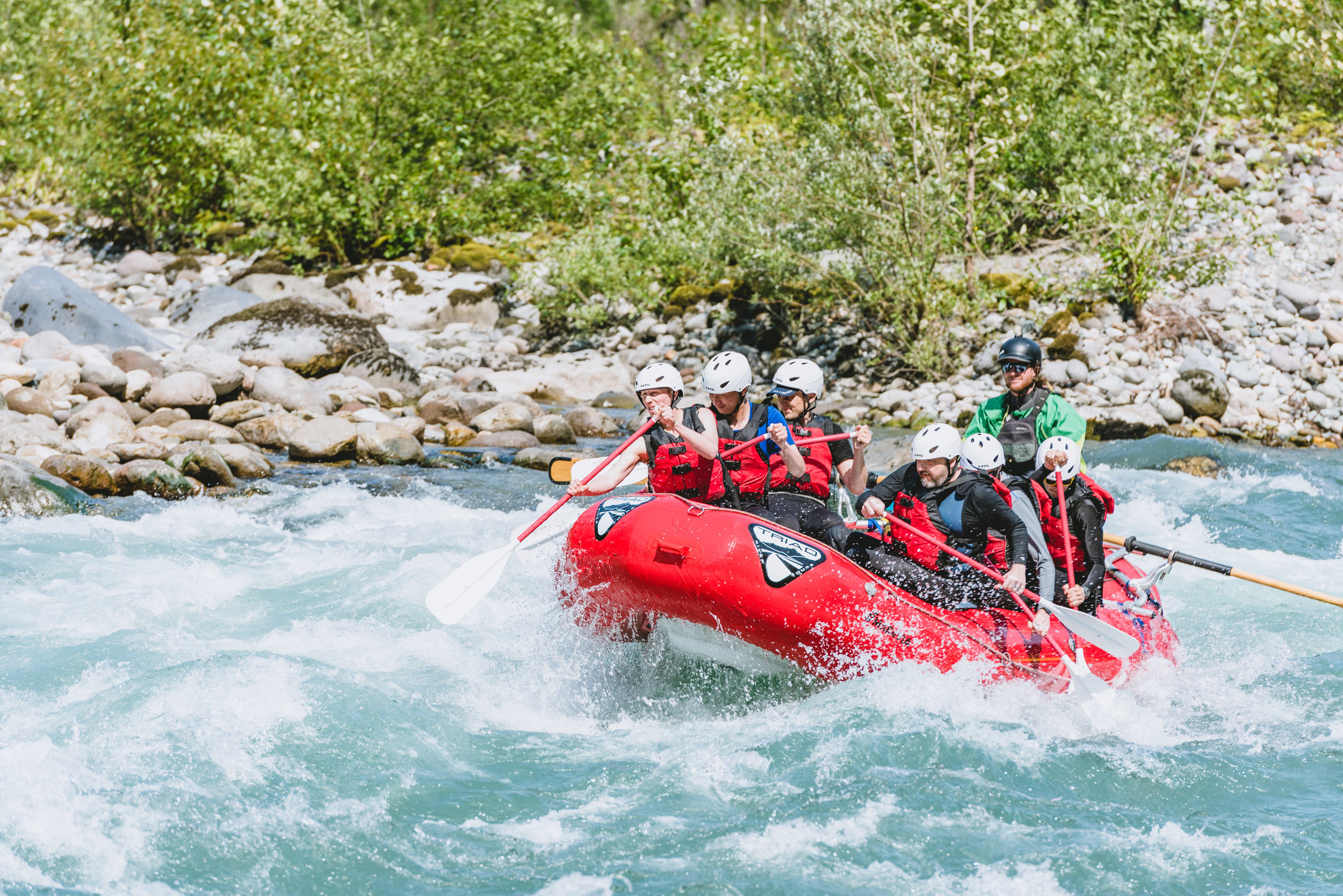
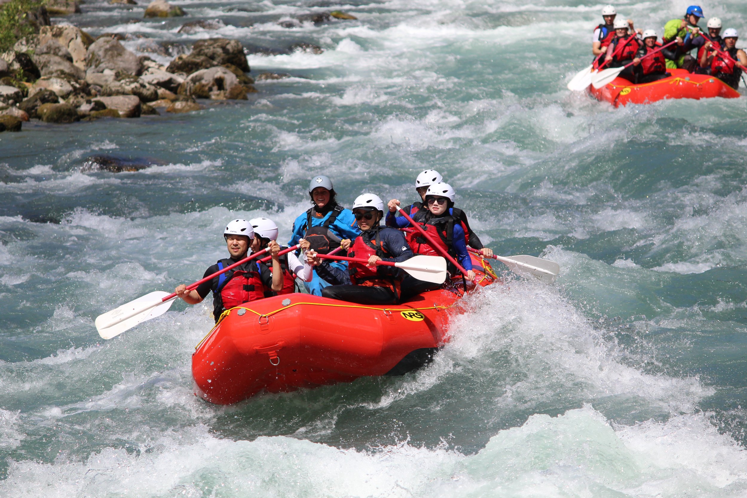
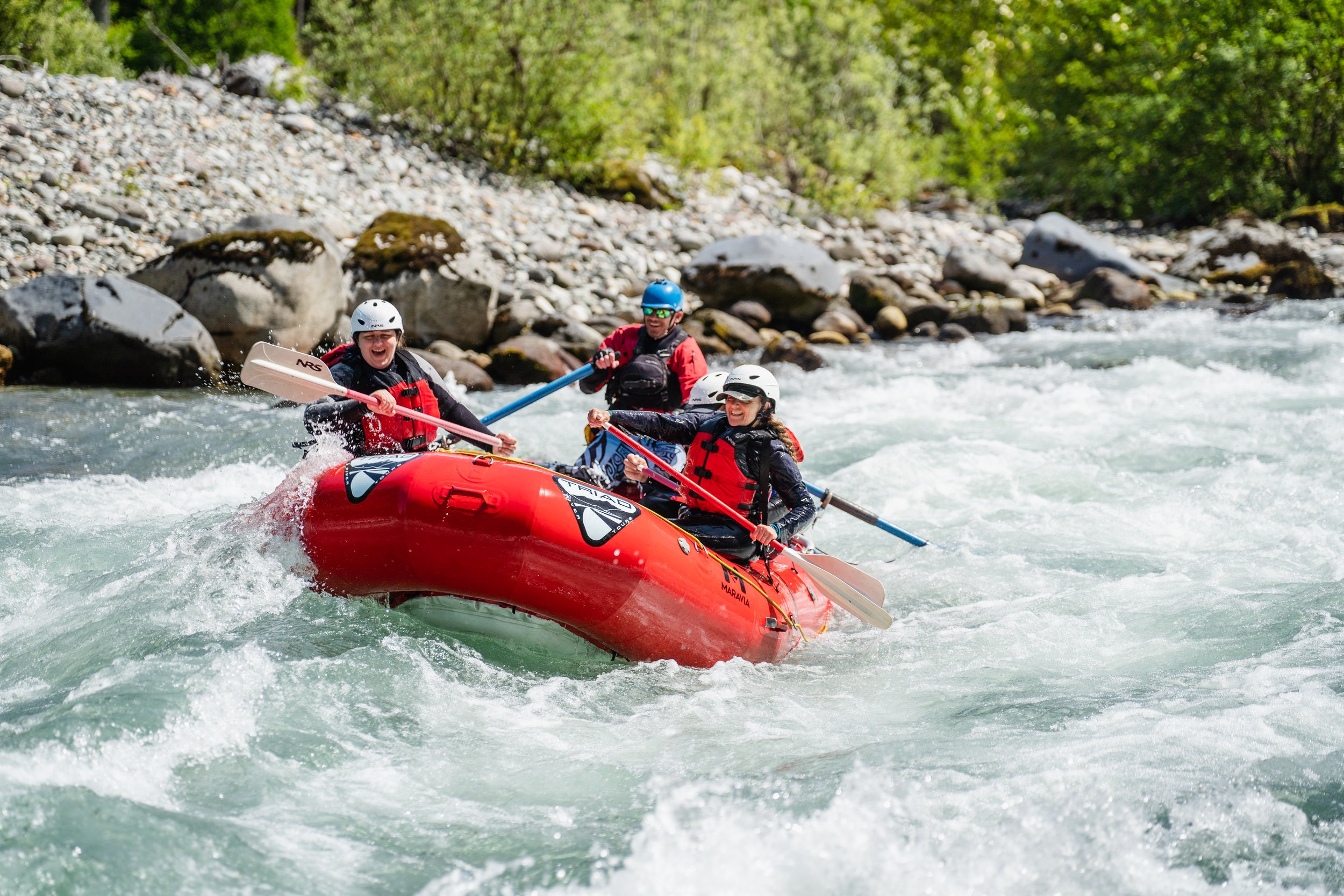
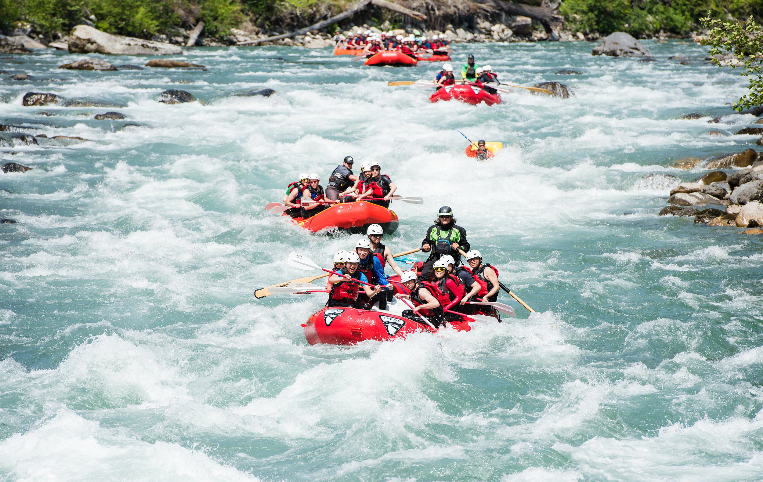
The Sauk River is surrounded by incredible mountains and represents one of the finest pure whitewater rafting trips anywhere. It has something for everyone. Our guides love the Sauk River whitewater rafting trip near Seattle, and our guests rave about it because it is simply amazing. The Sauk River is a perfect intermediate level whitewater trip that feels like a wilderness adventure. While you're there, it feels like you're a million miles from the stresses and traffic, but it only takes less than two hours of driving from downtown Seattle. You’ll experience continuous, fun, and splashy whitewater surrounded by magnificent peaks and mountainous views of the North Cascade Mountains—a real treasure that is hidden from all that would bother you back in the city. Leave work behind and feel the thrill of the Sauk River and witness the majesty of an ancient river corridor that remains alive and vibrant with more continuous whitewater than any other Western Washington commercial section. This trip features seven miles of some of the best whitewater in the northwest that will take your breath away and leave you wanting more around every incredible river bend. This is a great step up from rivers like the Skagit, Wenatchee, or Teiton Rivers in Washington and functions as a nice escape for thrill seekers who want to get out of Seattle or Bellingham and run some great big wave/technical whitewater. This is our premier whitewater trip and is not recommended for kids or the elderly. However, for those who crave the adventurous feel of a mountain stream that is gushing with natural beauty, look no further than the Sauk River whitewater rafting trip.
The Sauk River screams down the Western slopes of the North Cascades through dense alpine forests. It has a wilderness feel that is only rivaled by longer multi-day expeditions like the Selway and Middle Fork. When you're on the Sauk, you feel like you're away from it all, even though your guides have meticulously planned out our safety procedures just in case. You’ll take in occasional views of Osprey, Black Bear, Salmon, Deer, Ducks, and Otters, as well as views of Bedal Peak, Mt. Pugh, White Chuck Mountain, and Whitehorse Peak, all within a couple hours’ drive from Seattle or Bellingham, Washington. There is no way to get the feel of a true nature escape, coupled with the unrivaled thrill of glacially fed refreshing whitewater, than a trip on the Sauk.
The Sauk is typically run from April through September, with early season trips featuring towering waves, high water, and increasingly fast and high-water flows. When the river empties of its spring run-off it becomes what we know and love—a purely technical Class 3 run that offers several great whitewater features. The rich geological history of the Sauk River has been a subject of fascination for local geologists of Western Washington University, who have spent time with our guides to help us develop a whitewater trip that is both thrilling and educational. Come to the Sauk River and see why it is the best nature escape in Washington.
The Sauk is a dynamic river, with several birds, native salmon, and the occasional black bear that we can spot on shore. Taking a Sauk River whitewater rafting trip is a great way to spend an extra day if you live in Seattle and just need to get away. Once you meet up with your guides at the White Chuck Boat Launch, you will be in for a three-hour adventure that will replace your comfort zone with a serene and exciting reminder that you are alive amidst nature, where you belong.
The Sauk River is one of the most fun and technically challenging pure whitewater rafting runs in the northwest. Its waves are constant and splashy, and the water is pure coming off the glaciers of the above cascade mountains. The Sauk River is a continuous whitewater river, and although it is rated as a Class 3+, it often serves up a heavy dose of adrenaline in comparison to much larger rivers due to its complexity, gradient, and remoteness. The Sauk River is not for the faint of heart and is not suitable for minors with no experience in whitewater conditions. The Sauk is not to be taken lightly, but it’s a sure thrill for the avid whitewater enthusiast.
Detailed Explanation of the Trip
During the first mile of river, there are two small rapids and two significant Class 3 rapids. To the right, one can see White Chuck Mountain (6989ft). On clearer days you will get a chance to see Mount Pugh (7201 ft) behind you while you pass through the last gentle pool of the river before the true continuous whitewater hits you.
After the first half mile, during the two smaller rapids, paddlers begin to know what they are in for as they can see the drops, holes, and rocks they have to dodge. The river makes a sharp turn, as to create an oxbow in the river at approximately half a mile down from the start (roughly 10-15 minutes into the trip), which ends at the first two large rapids, creating a very nice and technical section of river which is very Sauk-esque in its complexity and relative difficulty (you realize that you aren't on the Wenatchee anymore!). These first two rapids of significance are often referred to as "Six of One" and "Alligator" and at all flows offer a challenge. Six of One is a rapid that requires precise maneuvering as there are several rocks to avoid, as well as a logjam that is consistently posing a threat on the right side of the river. Rafts should also be mindful of the immediate right turn that the river takes after this rapid.
Alligator is a rapid that creates a lot of difficulty for rafts when the lower river levels present more technical and challenging whitewater. Placed directly after Six of One, this rapid has a complex setup with a giant boulder at the tail end of the rapid that forms a large wave/hole in higher flows. Most of the time, guides run the right side of this rapid, but in lower flows, a technical zig-zag run through the boulder garden of the left side may be needed. In higher water, these two rapids become essentially a long section of continuous whitewater approximately a quarter mile long, so it is important that all guests focus on paddling techniques and skill for the first part of the Sauk River Rafting trip.
At one mile into the trip, our first possible evacuation spot is reached where guides will do a "check with me" and ensure that all guests are doing fine after the first two significant rapids. Guides check with each other and, if necessary, with staff waiting on the bank to decide the run is clear and it is safe to proceed (if not, an evacuation can be performed above the rapid known as "Gum Drop"). Once this spot is passed, paddlers are committed to run the most difficult and technical section of river, which reaches a crux through the rapid known as "Jaws". Jaws has very little room for error and pushes the high Class 3 range. A very long AND complex rapid, Jaws requires complex maneuvering and decisive paddling by the crew. Consequences in Jaws can be severe due to a long set of rapids that follow it downstream, often called "Demon Seed", which has been the name given to the giant rock which can be hard to miss at the exit of Jaws. Jaws can be scouted from the right bank of the river by following a trail. In higher water the trail is submerged, and guides and guests must wade/forge the stream that covers the right channel of what has now created an island in the middle of the river (in lower water it is just the right bank; in higher water the right side of the river goes underwater).
Rafts often have trouble at the very end of Jaws due to the technical nature of the moves made immediately after it. At the bottom of the rapid, rafts must choose to go left or right of the large rock (also sometimes called "Demon Seed"), and then decide where they will go through the next set of rapids. Logs and debris have often become lodged in the right cut-bank of the river as the river makes a 90-degree left turn, exposing trees hundreds of feet above the river at this spot.
Jaws is placed nicely, as it is exactly two miles into the run. It can be seen from the road (Highway 530) and sits just downstream from the confluence of Dutch Creek, which has a bridge going over it on the highway but is very difficult to walk up and thus is not a viable evacuation route. Scouting from the road is possible but would take some time. It may be advised to scout Jaws by walking downriver to the rapid below it, where a wide and predictable bench allows you to bushwhack much easier than the terrain immediately to the side of Jaws, between the river and the road, which is quite steep and brushy.
Below Jaws is a series of annoying rocks that must be negotiated. This is the place where any rescues will be finished up and where paddlers and swimmers will get a chance to take a break from the whitewater action. Soon enough things pick up once again as the river again splits into two distinct channels and a horizon line appears. This is the beginning of the rapid known as "Whirlpool" which is very steep yet relatively straight forward. Whirlpool was given its name by the large swirling pool that sits at the bottom of the rapid. Rafts must work to avoid the pool by maneuvering their rafts to the right side of the river after the run. The right run is the more common of the two, but in higher water both are good. From the top of Whirlpool, which is exactly three miles into the run (the halfway mark) until Clear Creek, there are often changes in the wood deposits. This section of river can be unpredictable, misjudged, and underestimated due to the relatively calm waters in comparison to the rapids above. Rafts and kayaks have often been recovered in this section of river, also, due to it being the first section of flat water after the long stretches of continuous whitewater above. Where kayakers and rafters have become separated from their boats in Jaws, they will often float down to this section.
Below the confluence of Murphy Creek, which represents the last legitimate and easily accessible emergency evacuation point along the river, the Sauk becomes a meandering pool drop river that sweeps you into curves that often have wood deposited on the banks. Looking behind one can get a glimpse of the statuesque Bedal Peak to the Southeast, as well as Jumbo Mountain that hangs out above and to the left of the river corridor (south).
The final two miles of the Sauk River whitewater rafting adventure are a time for guests to tell stories about the trip, get to know their guides, and maybe even go for a swim (after checking with the guide). This is also a section where we have been known to bring smaller kids on for the remainder of the trip, which is mostly Class 2 boogie water, which is ideal for younger rafters. This section of river is also a great place to do safety and Swiftwater rescue training for our up-and-coming guide trainees.
The take-out for the Sauk River is located at Bachman County Park, on Highway 530.
Sometimes when the weather permits, and the rocks are not too dangerously slippery, guests can be guided up to a cliff jump, as well as a log which nature has perfectly placed across the creek, where someone who is very careful could walk out onto the middle and jump. This often isn't possible as the rocks are often slippery and there may not be time, but under some situations it's a possibility.
From Bachman Park, our guests are transported back to the Old School Park, where they will get a chance to take their wetsuits off, return their equipment to the guides, and hop back into their cars and be off for the remainder of their adventure. All Triad River Tours’ guides accept and appreciate gratuities, so please, if you feel your guide did an exceptional job, don't hesitate to show your satisfaction through an appropriate gratuity.
Things to do near the Sauk
A Sauk River whitewater rafting trip isn’t the only fun way to get outside and enjoy the local area. The forests and high rocky peaks that form the Sauk watershed boast plenty of trails and campgrounds for all skill levels, from an easy meander along the mossy riverbank to a challenging summit.
Hiking & Trail Riding
The nearest trail to our Sauk River launch point is the Old Sauk River trail, with a main trailhead located 5.6 miles up the mountain loop highway from Darrington. A beautiful hike at any time of the year, this trail winds six easy miles along the riverbank, with moss-hung trees and burbling glacier-melt streams all along its length. Slightly farther away is the Beaver Lake trail, another great year-round hike with views of the river and little elevation gain. This 4.2-mile round-trip hike brings you to a lovely low-elevation lake with views of the surrounding peaks—a great scenic spot for lunch or spotting some of the lake’s namesake beavers. For those who crave a bit more burning sensation in their legs, the 5,300 feet of elevation gain and scrambling ascent of Mt Pugh will bring you to stunning panoramic views of the North Cascades. With a round-trip length of 11 miles, this hike isn’t for the fainthearted, but the summit vista is worth it. If hiking isn’t quite enough to get your adrenaline going, check out the Chocwich mountain biking trail—three miles of single track with almost 2,000 feet of elevation gain.
Spectacular Whitehorse Peak towers above the town of Darrington, WA and looks down at the Sauk River. You will enjoy beautiful views of the North Cascades, including Whitehorse, when you visit us for the Sauk River Whitewater Rafting tour on a clear day (photo credit: Robert Ruth).
Camping and Accommodations
If you’re looking to extend your stay, there are two campgrounds nearby: Clear Creek and Bedal. Clear Creek Campground is 3.5 miles out of Darrington, near the Old Sauk River trail, and has vault toilets but no water. The campsites are surrounded by beautiful firs and a surprising lack of undergrowth. Bedal Campground is a bit more primitive, located 19 miles out of Darrington on the mountain loop highway and just off the main road. There are toilets here but no water. At Bedal you can hear the soothing rush of the river from every campsite without the constant roar of cars or camper traffic that accompany any stay in the area’s more heavily used campgrounds. If sleeping out in the woods isn’t your style, the Darrington Motor Hotel is located close enough for easy access to hiking, biking, and river rafting.
Darrington also offers a few great places to grab a bite to eat after wandering through the mountains. If all you need is caffeine and a new read for the campsite, try Mountain Loop Books and Coffee. If you’re looking for a full meal, try the Four Corners Café or the classic burgers and shakes at The Burger Barn.
For more information:
Mt Baker-Snoqualmie National Forest
Outdoor and Camping Gear
Darrington’s Gold Nugget Pawn Shop has an impressive selection of camping gear including tents, sleeping bags, coolers, and apparel. Located on the way to your meetup location in Darrington, this is a great spot to stop if you need any last minute items before your trip, or to stock up on supplies if you are planning on camping out for a multi-day excursion on the Mountain Loop.
